By Richard Kaufman
Sentinel Reporter
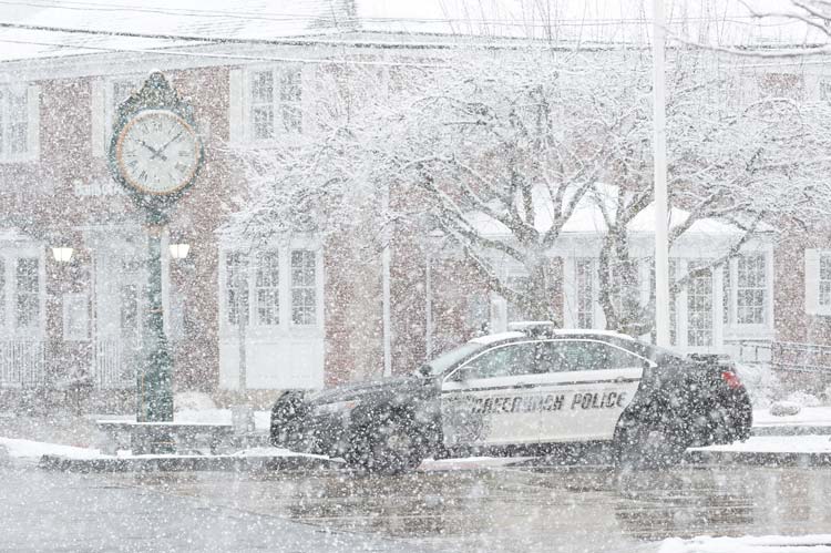
This isn’t a late April Fool’s joke.
Even though it’s spring, more snow appears to be on the way. According to swctweather.com, Fairfield County is expected to see 2-5 inches of snow, beginning roughly around 5 a.m., and going through the morning commute.
According to Jacob Meisel, chief weather analyst for swctweather.com
Steady snow moves in by 5 a.m. across the region and moderate to briefly heavy snow is moving in by 6 a.m., just before sunup. Surface temperatures below freezing mean that by 6 a.m. road conditions are easily deteriorating and are increasingly slushy through 7 and 8 a.m. as heavy snow falls. The storm is incredibly quick-moving, so that after a peak around 8 a.m. snowfall rates are decreasing rapidly by 9 a.m. and by 10 a.m. lighter snow, rising surface temperatures and the strong April sun angle should allow travel conditions to rapidly improve.
Meisel says there’s 60% chance for area school delays, and a 40% chance for closures. The sun is expected to peak out around 12-1 p.m., and any snow accumulation should melt during the afternoon.
Be sure to swctweather.com for more updates at the forecast rounds into focus.