By Emma Barhydt
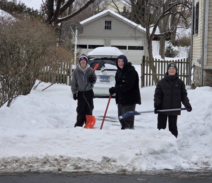
Greenwich is settling into deep cold, snow piled along curbs and sidewalks, and the sense that the season is not finished making itself known.
After the major storm that swept through the Northeast earlier this month, the region has moved into an extended pattern of locked-in cold air. As meteorologists have been emphasizing, storms do not need perfect conditions to produce snow when the atmosphere is already primed. The ground is cold, the air is cold, and any system that rides up the coast has a ready-made environment for winter weather.
In his latest analysis, weather forecaster Ryan Hall, whose forecasts are remarkably accurate, pointed to a growing signal for another East Coast storm developing as the calendar turns toward February. The broader setup is familiar: reinforcing cold pressing south from Canada, energy sliding out of the Great Lakes, and moisture gathering along the Gulf and Atlantic. When those pieces align, the result can be a classic coastal storm — a nor’easter-type system that may intensify quickly offshore.
Hall stressed that the details are still shifting, and that no one model run should be taken as final at this stage. But the consistency of the signal itself is what has forecasters paying attention. Guidance now suggests a storm organizing along the coast late this weekend will now result in snowfall in Greenwich.
Hall noted that even if the low center stays out to sea, the snowfall footprint can still expand inland depending on how much moisture gets pulled northward and how strong the wind field grows. That distinction is critical for Fairfield County, where small shifts in storm track often determine whether the impact is minor or more disruptive.
Locally Friday is expected to be brutally cold, with highs near 15 degrees and overnight lows close to 5, and wind chills dipping below zero. Saturday remains bitter, with temperatures struggling to reach the upper teens. By Sunday, attention turns to the chance of snow, with early projections suggesting a light accumulation in the one-to-three-inch range, though Greenwich has already seen how quickly totals can rise when a storm over-performs.
Hall’s discussion of model blends suggests the potential for several inches along parts of the coastal Northeast if the storm’s precipitation shield grows. That keeps the focus on the weekend into early next week, when even a moderate snowfall would be layered onto existing snowbanks and very cold pavement, creating difficult travel and persistent icy conditions.
What is not in question is the cold. Arctic air is pressing south, keeping temperatures well below seasonal averages into early February.
The larger takeaway for is not a specific inch count several days out, but the pattern itself: winter has tightened its grip here, and the atmosphere remains active. With cold air entrenched and another coastal storm signal strengthening, residents should expect the next week to bring continued winter disruption potential — likely from a series of smaller events layered onto an already harsh season.