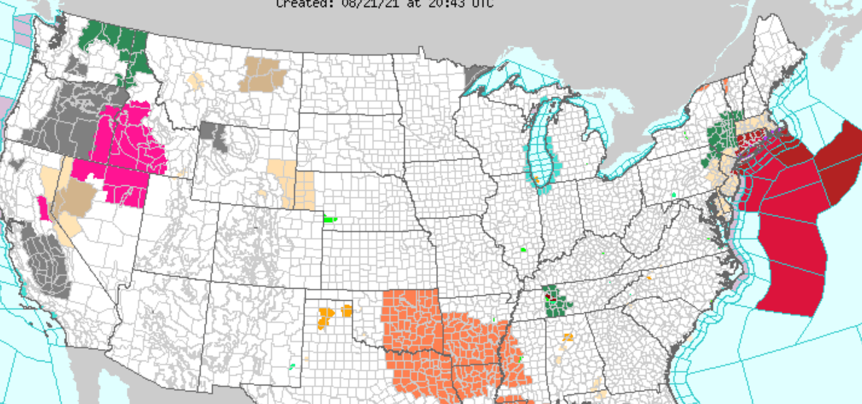
Henri has become a Category 1 hurricane and is currently 460 miles south of Montauk Point. Henri will likely make landfall near hurricane strength across eastern Long Island early Sunday afternoon, and then track into southern New England late Sunday into Monday.
The main threats from Henri are potentially life-threatening storm surge, heavy rain capable of producing flash flooding, tropical storm or hurricane force winds along the south shore of Long Island and across southern Connecticut. There will also be associated marine and coastal hazards, including very rough seas and dangerous rip currents. Severe beach erosion is possible for coastal areas of Long Island Sound and portions of Suffolk County, including the Twin Forks region.
A widespread rainfall of 3 to 6 inches is forecast in the path of Henri with localized higher amounts possible Saturday night through Sunday night. The highest amounts are forecast to be across Long Island and much of southern Connecticut and may occur along and west of the center of Henri. This will present a likelihood for areas of flash flooding.
Dangerous marine conditions are likely on the ocean waters south of Long Island, as well as on Long Island Sound, and the south shore and eastern bays of Long Island. Hurricane force winds will most likely be in those areas. Dangerous rip currents and high surf expected along the ocean beaches of Long Island began Friday. ~ Source: National Weather Service
From Eversource
Eversource Increases Number of Possible Power Outages as Connecticut Braces for Hurricane Henri; Company to declare an Emergency Response Plan Level 2; 50 to 69% of customers could lose power; restorations could go 8 to 21 days
With Hurricane Henri expected to make landfall early Sunday morning along Connecticut’s shoreline, Eversource is increasing the number of possible outages the storm could cause. The energy company will declare an Emergency Response Plan (ERP) Level 2 Sunday at 6 a.m. This means that of the roughly 1.25 million Eversource electric customers in Connecticut, between 50 and 69% could lose power and restoration efforts could last between eight and 21 days. The adjustment to the ERP is based on multiple weather forecasts and UConn’s Outage Prediction Modeling that show high winds and heavy rain, potential storm surge along the shoreline and flooding in communities across the state. With trees being the number one cause of power outages during storms and many of the state’s trees already weakened due to insects and saturated ground caused by recent storms – thousands of trees could come down during this hurricane, further complicating power restoration efforts.
“As Henri moves closer, we’ve been re-positioning crews, equipment and other resources accordingly so that we’re ready for the significant, widespread damage we can expect to see from this storm,” said Eversource President of Regional Electric Operations Craig Hallstrom. “While we have a massive contingent of line and tree crews from across the country and Canada here and more on the way, customers should be prepared for lengthy outages. That said, we are singularly focused on our responsibility to restore power as quickly as safely possible for our customers.”
From The Town of Greenwich
In preparation for the storm, our team of first-responders with extra staff and equipment have been staged to respond to any situation that may arise from this weather event. As of this evening (Saturday, August 21), ferry service to both Island Beach and Great Captain Island is suspended until further notice.
Please do not risk your safety and that of our Town’s first-responders – police, fire, EMS, Parks & Trees and Public Works – by visiting our waterfront during the storm. Please shelter in place.
Should you need to evacuate your home, the John Margenot Atrium, located at the Town of Greenwich Public Safety Complex at 11 Bruce Place, has been designated a cooling and charging station. Open 24 hours. Please wear a mask and maintain proper social distancing if you come to use the facility.
For businesses participating in the outdoor dining experience this summer, they should ensure that all tables, chairs, tents and umbrellas are brought indoors. Residents are advised to secure their outdoor furniture.
It is advisable that residents have a supply of non-perishable food, as well as water, first aid materials, flashlights and batteries, and a supply of their prescriptions.
Detailed Forecast from NOAA
This AfternoonA 30 percent chance of showers and thunderstorms. Mostly cloudy, with a steady temperature around 80. East wind around 7 mph.TonightA chance of showers and thunderstorms, then showers likely and possibly a thunderstorm after 8pm. Mostly cloudy, with a low around 71. Northeast wind 6 to 11 mph. Chance of precipitation is 70%. New rainfall amounts between a tenth and quarter of an inch, except higher amounts possible in thunderstorms.SundayTropical storm conditions possible. Showers and possibly a thunderstorm. High near 77. Chance of precipitation is 80%. New rainfall amounts between 2 and 3 inches possible.Sunday NightTropical storm conditions possible. Showers likely and possibly a thunderstorm. Cloudy, with a low around 70. Chance of precipitation is 70%. New rainfall amounts between a half and three quarters of an inch possible.MondayShowers likely and possibly a thunderstorm before 2pm, then a chance of showers and thunderstorms after 2pm. Partly sunny, with a high near 82. Southwest wind around 9 mph. Chance of precipitation is 60%. New rainfall amounts between a quarter and half of an inch possible.Monday NightA 30 percent chance of showers. Mostly cloudy, with a low around 70.TuesdayMostly sunny, with a high near 86
POTENTIAL IMPACTS
WIND:
Protect against life-threatening wind having possible devastating impacts across eastern Long Island and southern Connecticut. Potential impacts in this area include: – Structural damage to sturdy buildings, some with complete roof and wall failures. Complete destruction of mobile homes. Damage greatly accentuated by large airborne projectiles. Locations may be uninhabitable for weeks or months. – Numerous large trees snapped or uprooted along with fences and roadway signs blown over. – Many roads impassable from large debris, and more within urban or heavily wooded places. Many bridges, causeways, and access routes impassable. – Widespread power and communications outages. Also, protect against dangerous winds having possible significant impacts across the New York City metro area, portions of the Lower Hudson Valley, and portions of northeastern New Jersey.
SURGE:
Protect against life-threatening surge having possible significant impacts across all coastal areas of Long Island Sound, and much of the Great South Bay and southeast coast of Long Island. Potential impacts in this area include: – Areas of inundation with storm surge flooding accentuated by waves. Damage to several buildings, mainly near the coast. – Sections of near shore escape routes and secondary roads become weakened or washed out, especially in usually vulnerable low spots. Flood control systems and barriers may become stressed. – Major beach erosion with heavy surf breaching dunes. Very dangerous surf and rip currents. – Moderate damage to marinas, docks, boardwalks, and piers. Several small craft broken away from moorings, especially in unprotected anchorages. Also, protect against locally hazardous surge having possible limited impacts across Jamaica Bay, and New York Harbor.
FLOODING RAIN:
Protect against life-threatening rainfall flooding having possible extensive impacts across Southeast New York, Northeast New Jersey, and Southern Connecticut. Potential impacts include: – Major rainfall flooding may prompt many evacuations and rescues. – Rivers and streams may rapidly overflow their banks in multiple places. Small streams, creeks, canals, and ditches may become dangerous rivers. Flood control systems and barriers may become stressed. – In hilly terrain, destructive runoff may run quickly down valleys, and increase susceptibility to rockslides and mudslides. – Flood waters can enter many structures within multiple communities, some structures becoming uninhabitable or washed away. Many places where flood waters may cover escape routes. Streets and parking lots become rivers of moving water with underpasses submerged. Driving conditions become dangerous. Many road and bridge closures with some weakened or washed out.
TORNADOES:
Protect against a tornado event having possible limited impacts across eastern Long Island and southeast Connecticut. Potential impacts include: – The occurrence of isolated tornadoes can hinder the execution of emergency plans during tropical events. – A few places may experience tornado damage, along with power and communications disruptions. – Locations could realize roofs peeled off buildings, chimneys toppled, mobile homes pushed off foundations or overturned, large tree tops and branches snapped off, shallow rooted trees knocked over, moving vehicles blown off roads, and small boats pulled from moorings. Elsewhere across Southeast New York, Northeast New Jersey, and Southern Connecticut, little to no impact is anticipated.
PRECAUTIONARY/PREPAREDNESS ACTIONS: For those not under evacuation orders, assess the risk from wind, falling trees, and flooding at your location. If you decide to move, relocate to a safer location nearby. If you do not relocate, help keep roadways open for those under evacuation orders. If evacuating, leave with a destination in mind and allow extra time to get there. Take your emergency supplies kit. Gas up your vehicle ahead of time. Let others know where you are going prior to departure. Secure loose items and pets in the car, and avoid distracted driving. If evacuating, follow designated evacuation routes. Seek traffic information on roadway signs, on the radio, and from official sources.
OTHER PREPAREDNESS INFORMATION:
Saturday is the time to complete all preparations to protect life and property in accordance with your emergency plan. Make sure you are in a safe location before the onset of strong winds or possible flooding. If you are relocating to safe shelter, leave as early as possible. Allow extra time to reach your destination. Many roads and bridges may be closed once strong winds arrive. Check the latest weather forecast before departing and drive with caution. Failure to adequately shelter may result in serious injury or loss of life. Always heed the advice of local officials and comply with any orders that are issued. Remember that during the storm 9 1 1 Emergency Services may not be able to immediately respond if conditions are unsafe. This should be a big factor in your decision making. Storm surge is the leading killer associated with tropical storms and hurricanes! Make sure you are in a safe area away from the surge zone. Even if you are not in a surge prone area, you could find yourself cut off by flood waters during and after the storm. Heed evacuation orders issued by local authorities. Closely monitor http://weather.gov, NOAA Weather radio or local news outlets for official storm information. Be ready to adapt to possible changes to the forecast. Ensure you have multiple ways to receive weather warnings.